
 +39 - 39 - 307 6 3730
 +94 - 74 - 000 9208

Horton plains national park, World heritage site
- Horton plains national park is situated 2,300 m above sea level, spreading across Badulla, Nuwara Eliya, and Ratnapura districts, and 190 km away from Colombo, 29 km away from Nuwara Eliya, and 50 km away from Ella.
Maha Eliya Thenna, literary meaning in Sinhala “the great open plain,” was the original name of the area and it was renamed after Sir Robert Wilmot-Horton, the British Governor of Ceylon from 1831 to 1837.
It was nominated as a wildlife sanctuary in 1969 and upgraded to a national park in 1988. Peak wilderness sanctuary adjoining the west with Horton plains national park together with Knuckles mountain range has called “the Central Highlands of Sri Lanka” is a World Heritage Site.
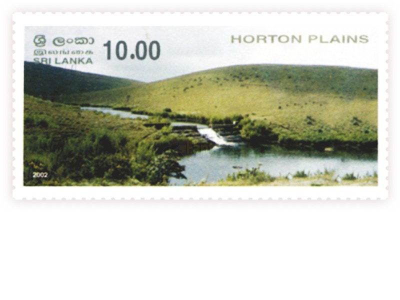
Most Striking Feature
- The plateau of the Horton Plains area is the highest plateau of the country which rises up to 2,500 m above sea level. It comes to a sudden end at the place called “the World’s End” which contributes immensely to its awe-inspiring physiognomy. The “Mini World’s End” drops by 274 m whereas the “World’s End” drops by 884 m. On a clear day morning, World’s End affords the view running to the southern coast and the Udawalawa national park with an adjoining reservoir of the southern part of the country.
The Baker’s Fall, originally known as Gonagala Waterfall, formed by Belihul Oya, a tributary of the Walawe River, is named after British explorer Sir Samuel Baker. It is 20 m high and gives different views when you are looking at it from different angles.
Landscape & Views
- The weather of the Horton Plains changes very quickly. One minute, it can be sunny and clear and the next minute, it would be chilly and misty.
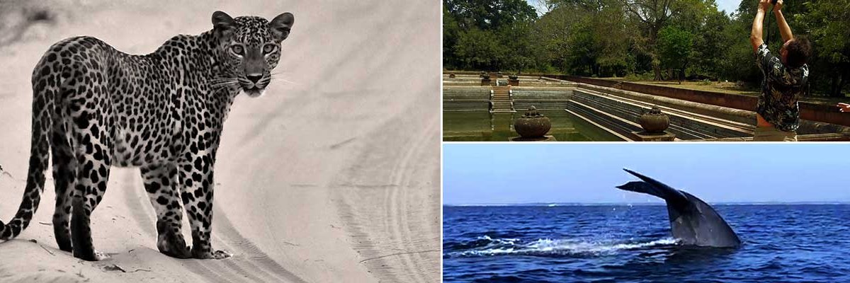
The nature trails to the mountains of Kirigalpoththa (2,389 m) and Thotupola (2,357 m), the second and the third highest mountains of Sri Lanka, situated towards the west and north of the National Park, are one of the best nature trails in Sri Lanka. The hikers can experience all aspects of the unique and fragile eco-system of the Horton Plains national park on the nature trail to Kirigalpoththa Mountain. The trail goes through areas of wet grassland, cloud forests, and scrubs at the summit. A wide variety of beautiful wildflowers and hundreds of birds can be seen during the hike. If you are lucky enough, you will be able to see wild boar, deer, and leopard.
The rainwater of Horton Plains drains through tributary to Mahaveli River to the north, Walawe River to the south, and the Kelani River to the west.
History & Archaeology
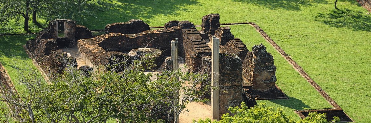
- According to the Ramayana, King Ravana landed his flying machine the “Dandumonara” with Queen Sita from India, at the Thotupola Mountain.
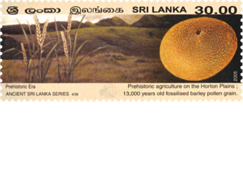
The archaeological research done by Prof. R. Premathilake of the University of Kelaniya confirms that the incipient management of barley, oats, and herding, possibly of wild and domestic cattle, occurred around 15,500 BC in the Horton Plains, as evidenced by pollen and other multi-proxy records.
Biodiversity & Rare Species
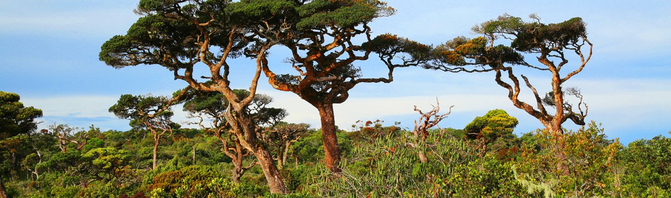
- Horton Plains national park is covered with 35% of Montane grassland and 65% of the cloud forest with rich biodiversity. Nearly 750 species of plants belonging to 20 families are recorded and 5% of species are found to be endemic to Sri Lanka. Many species of ferns, lycopodium, lichens, and orchids are ornamenting tree trunks and their branches whereas an old man’s beard, hanging in the branches, adds beauty to the forest.
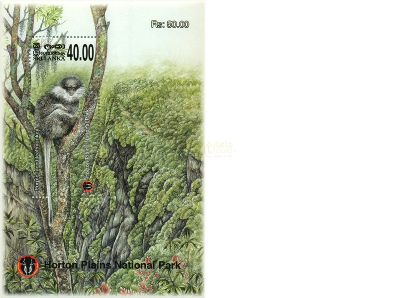
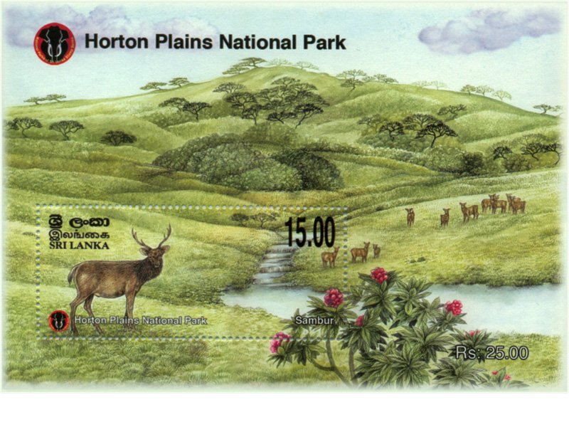
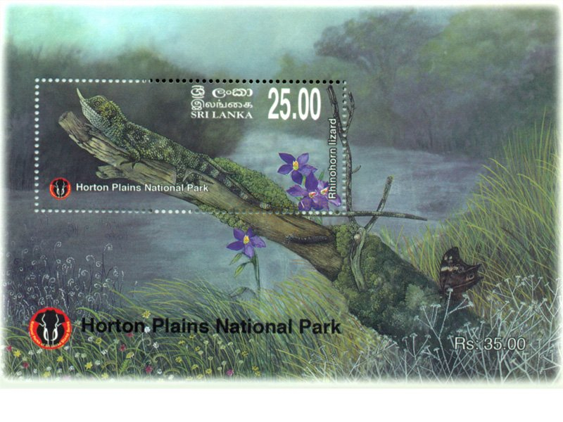
Horton Plains harbours 24 species of mammals, 87 species of birds, nine species of reptiles, and eight species of amphibians. Sambar deers, with a population of around 1,500 to 2,000, are the most common mammal in the Park.
Horton Plains’ slender loris (in Sinhala, “Unahapuluwa”) is considered to be one of the world’s most endangered primates seen only four times during the period of 1937 to 2002 and are believed to be extinct. But in 2010, a team of conservation biologists was able to sight it and capture it on camera.
Elephants are the most striking feature of almost all the national parks in Sri Lanka, except the Horton Plains national park. Until the early 20th Century, Horton Plains was rich with elephants and the whole population was hunted down to extinction by the colonialists.
Access
There are six ways available to access the Horton Plains national park. Some are motorable roads but some are only by hiking.
1. Nuwara Eliya - Ambewela - Pattipola - Horton Plains
2. Welimada / Nuwara Eliya - Hakgala - Boragas - Ambewela - Pattipola - Horton Plains
3. Haputale - Boralanda - Ohiya - Horton Plains
4. Belihula Oya - Kalupahana - Udaweriya - Horton Plains
5. Agarapathana - Diagama - Horton Plains
6. Ohiya Shortcut which goes through railway line to the Ohiya Tunnel and Ohiya Bridge
Visiting hours for the Park - 6 a.m. to 6 p.m.
Mode of safaris - By foot (9 km main-trek, a circular route, can be enjoyed within three hours)
Best time of the day to visit the Park - Morning before 10 a.m.
Best months to visit the Park - Throughout the year. December to February have the brightest sunshine.


Share this page